
On The Go Tours
Our agents are waiting to chat to you...
Are you a Travel Agent or Customer?
Do you have an booking reference?
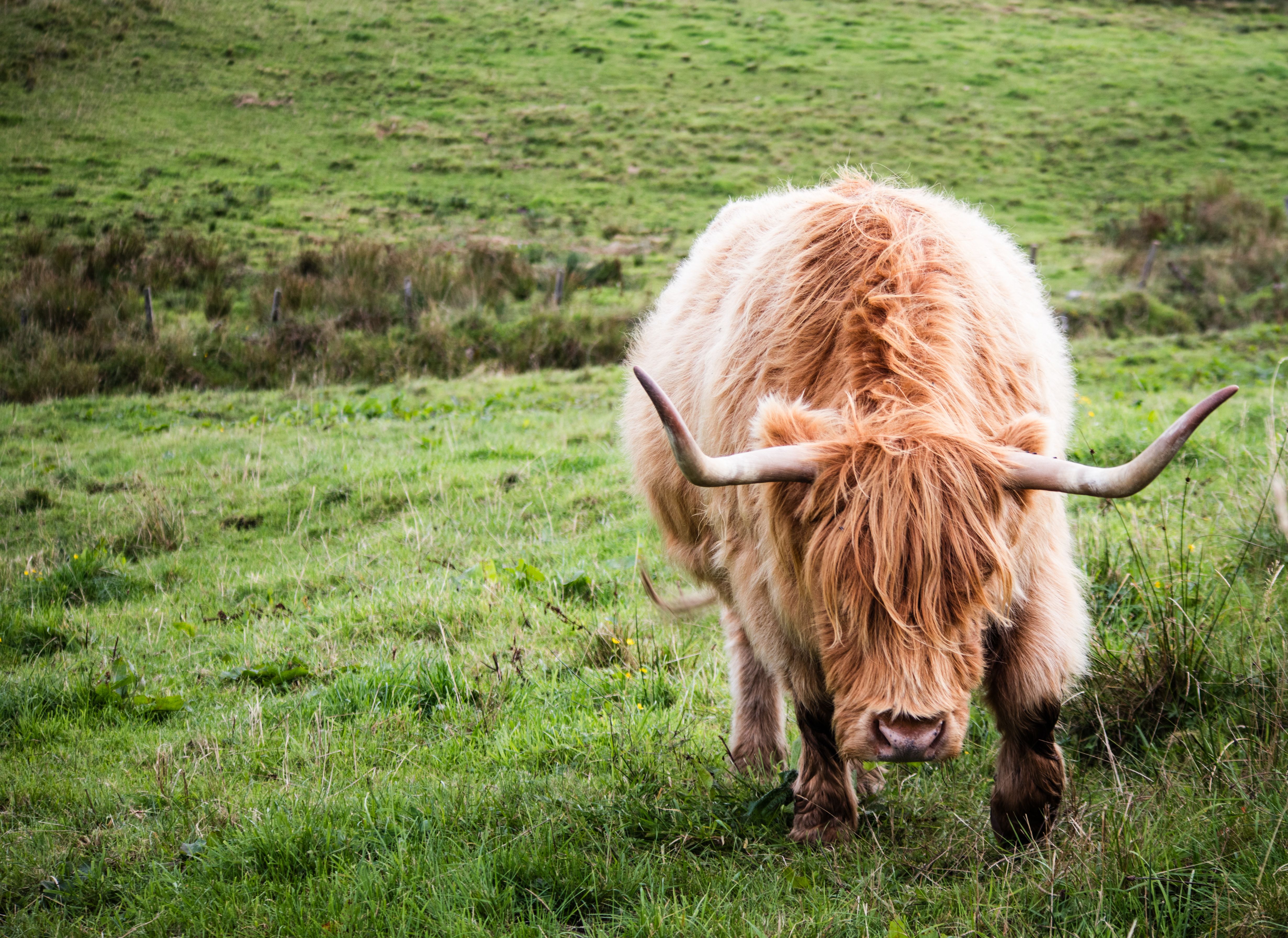
Exploring the Scottish Highlands
A journey north through empty moors, steam railways and ancient pinewoods.
Exploring the Scottish Highlands
A journey north through empty moors, steam railways and ancient pinewoods.
When do you want to go?
2026
I'm flexible
Passengers
Adults (18+)
Children (0 - 17)
Four crossings, one journey north
Exploring the Scottish Highlands isn’t one journey. It’s a run of them, stitched together by single-track roads, high railway lines and long empty stretches where the map goes quiet for miles. Most people picture the scenery and stop there. What they miss is how much of the experience is the movement itself, the light shifting on the way north, the moment the last town drops behind you and doesn’t come back for an hour. The crossings below are the ones worth the miles. Not the obvious viewpoints, but the places that pay you back for the effort of reaching them. Pack for four seasons in a day. You’ll use all of them.
Walking into the Lost Valley of Glen Coe
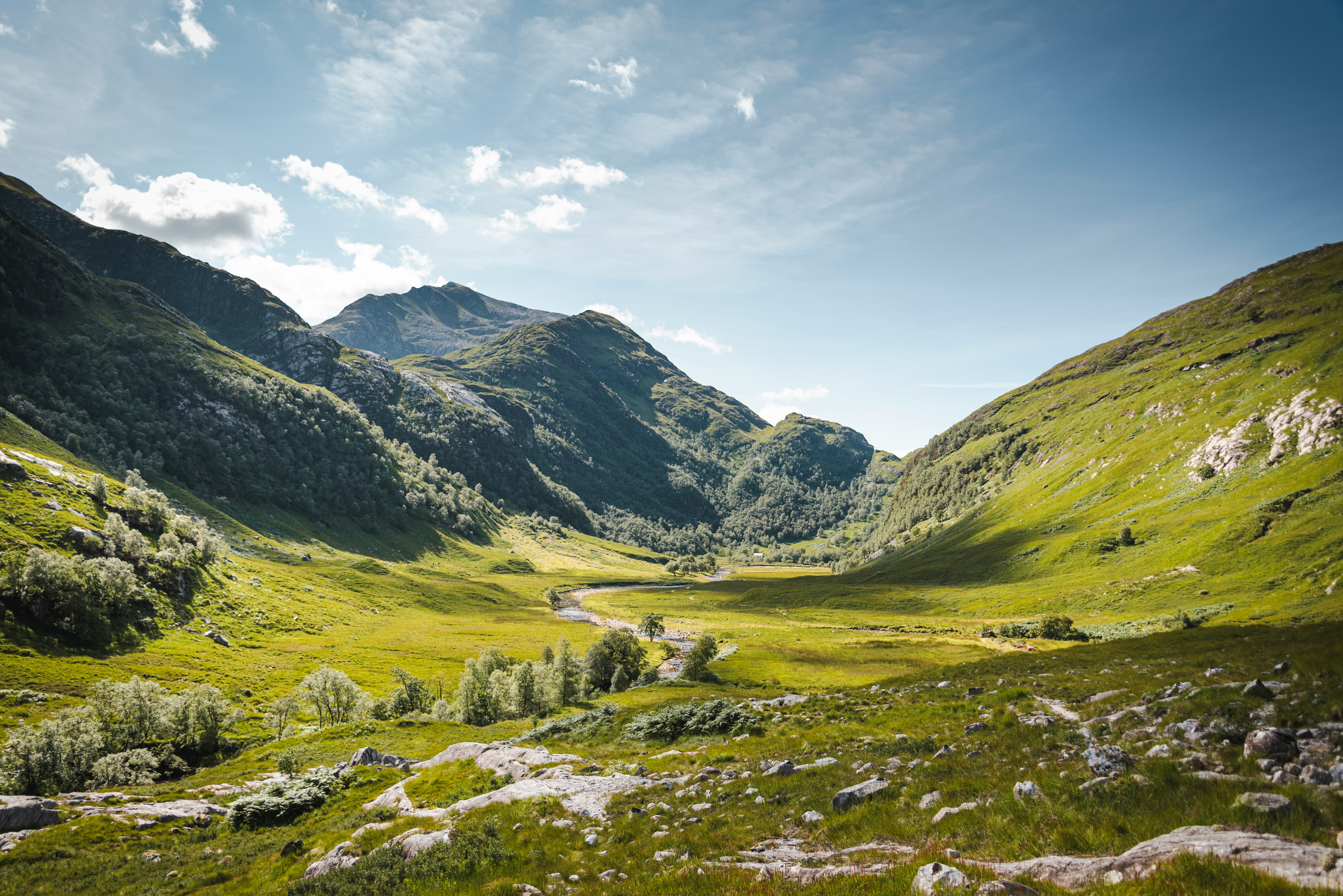
Glen Coe funnels traffic along the A82, and most people photograph the Three Sisters from the roadside and drive on. The better story sits behind them. A steep path drops from the car park to a footbridge over the River Coe, then climbs into a wooded gorge where the water runs ice cold over the slabs and the noise of the falls closes in around you.
The valley is called Coire Gabhail, the Corrie of the Bounty, and its entrance is hidden. A rockfall from the face of Gearr Aonach, the middle of the three peaks, blocks the view from the glen, so the ground ahead looks like an ordinary steep dead end. You scramble up beside the ravine, cross the burn on stepping stones when the water is low, and then the ground levels without warning into a wide flat meadow ringed by mountain walls, invisible from the road below.
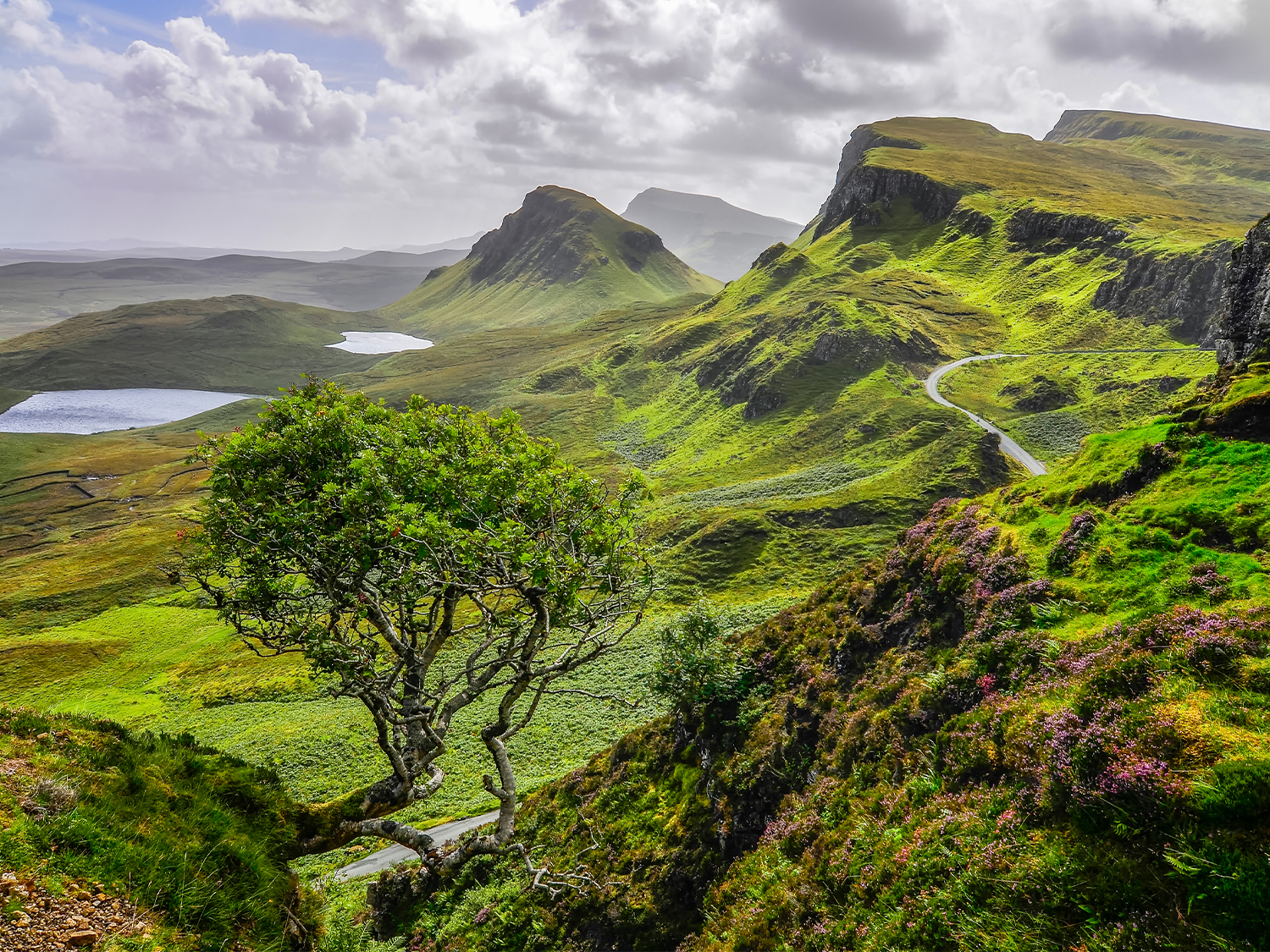
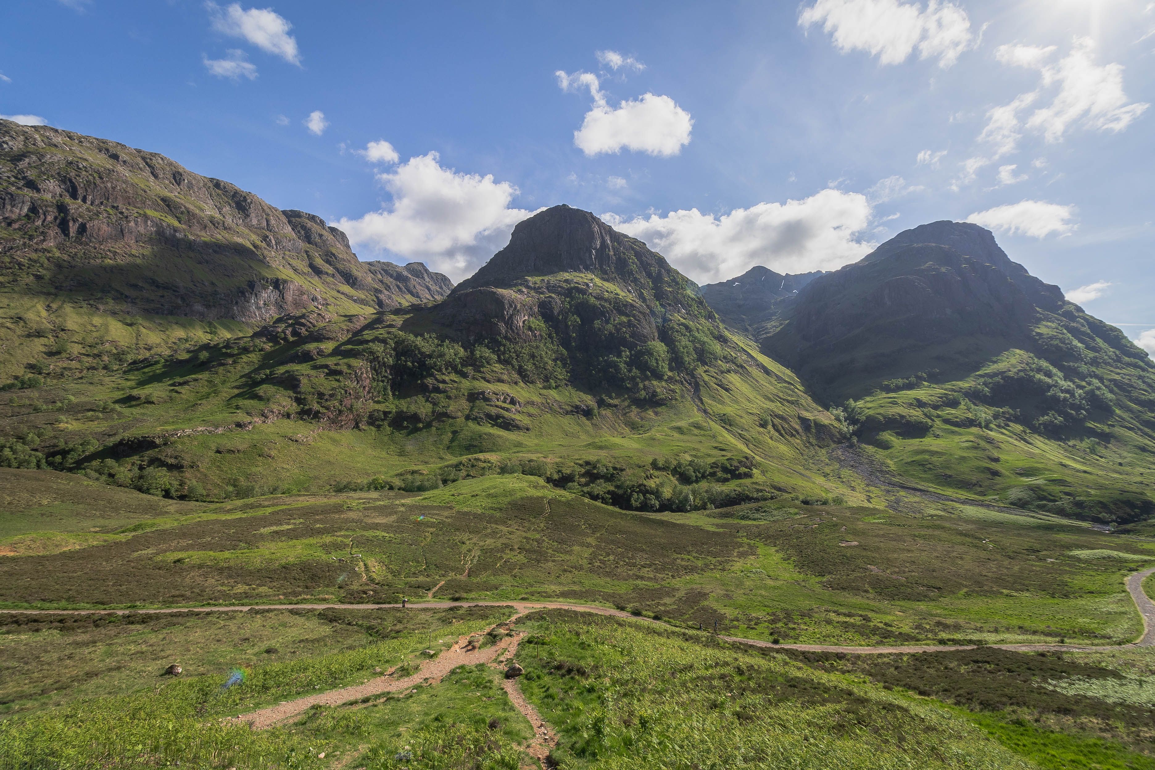
The MacDonalds of Glen Coe used this hidden shelf to hide cattle, some of it lifted from neighbouring clans. In February 1692, after government soldiers turned on the clan in the massacre of Glencoe, families fled up here through the snow. Some did not survive the night on the open hill.
The floor of the valley is scattered with boulders the size of small houses, left by old landslides, and the head of the corrie rises to the ridges of Bidean nam Bian. It is quieter than the roadside, though rarely empty now. Go early. The car park fills by mid morning and the coaches arrive later. The scramble is short but genuinely rough, with slippery rock above the gorge and a river crossing that can be impassable after heavy rain, so boots with grip earn their place. Allow around three hours to the meadow and back at a steady pace.
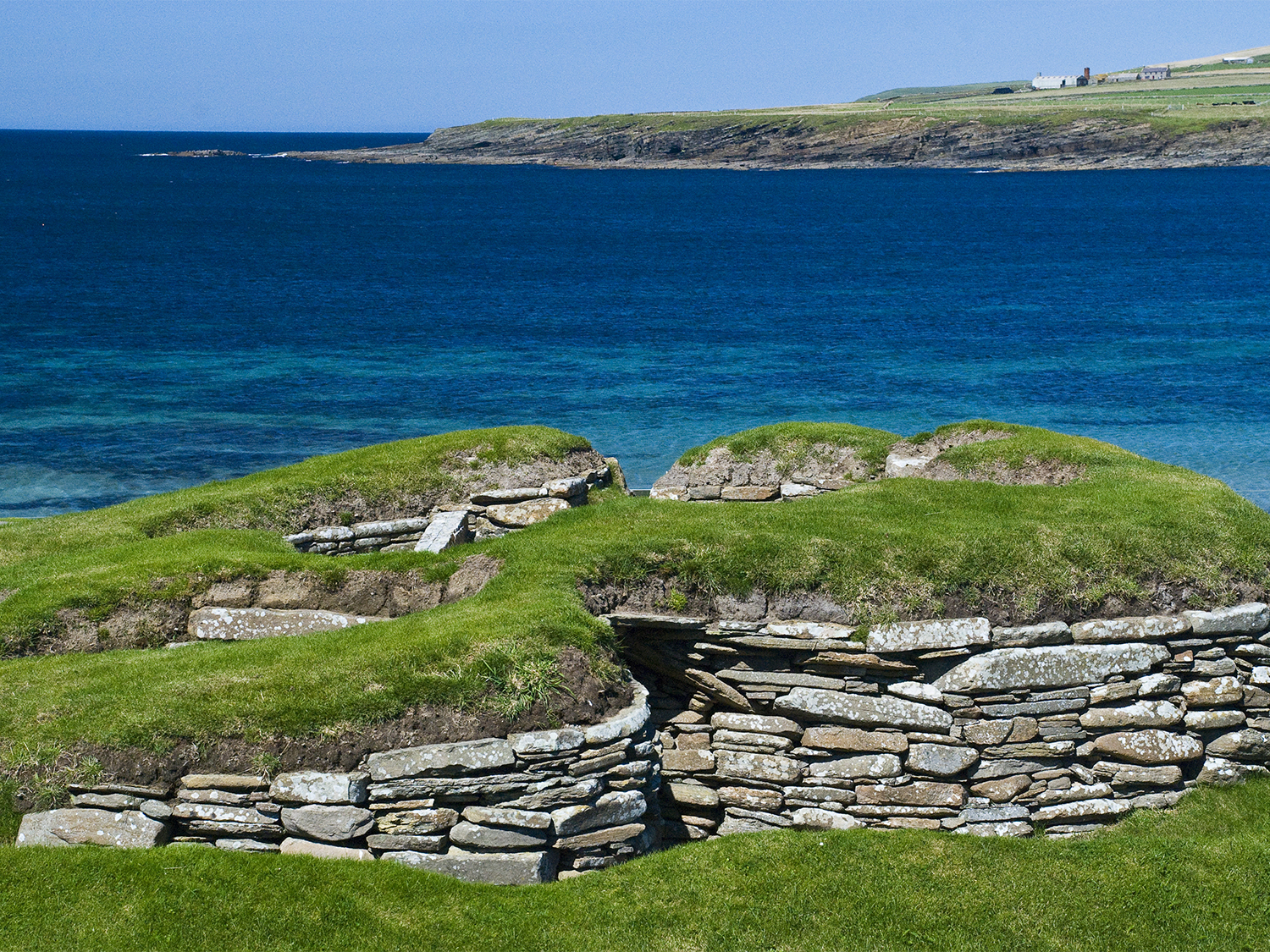
Crossing Rannoch Moor to Corrour by train
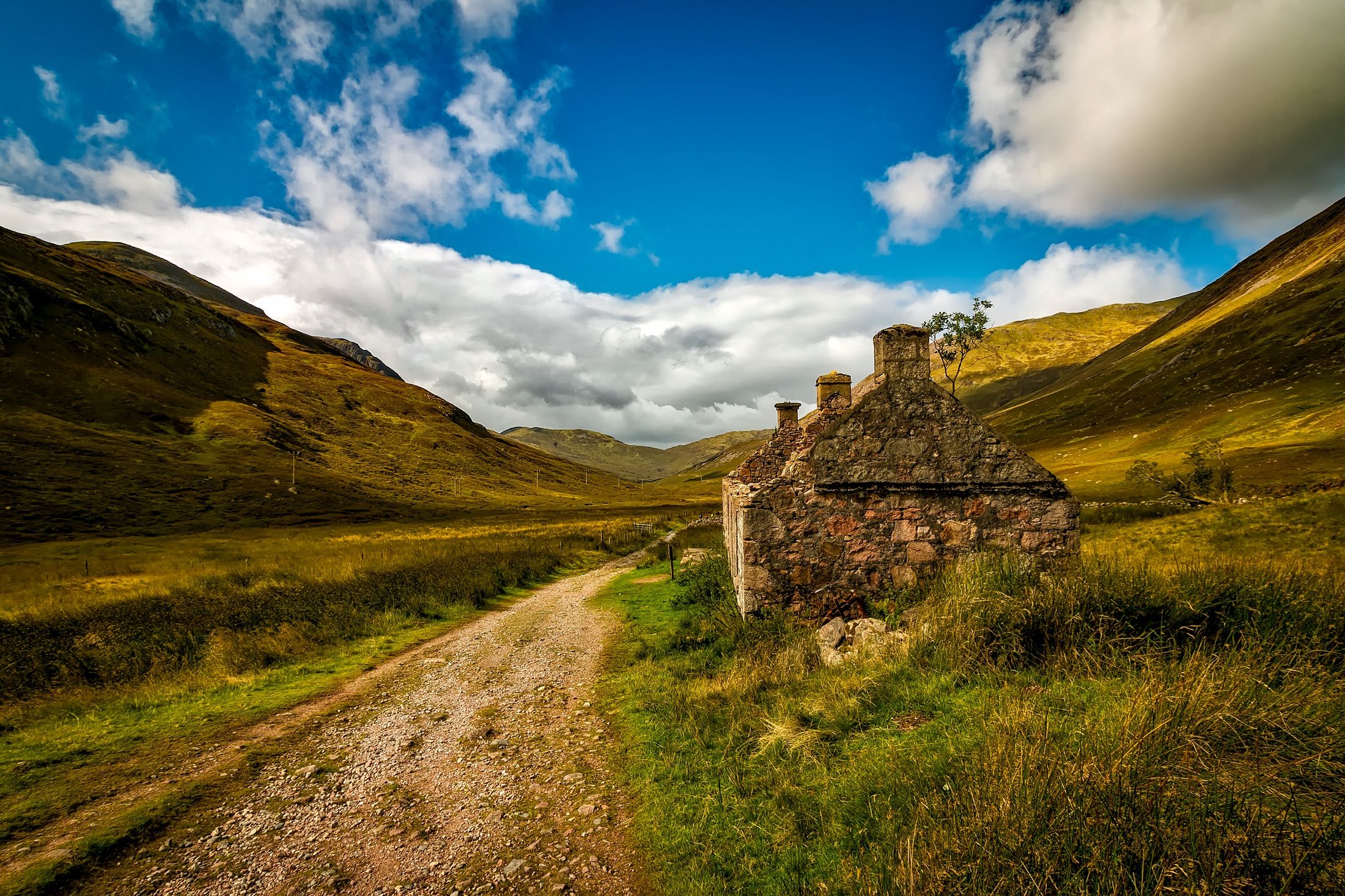
The moor that Glen Coe opens onto is one of the emptiest places in Britain, and the finest way across it is not the road but the West Highland Line. The train from Glasgow towards Fort William slows as it reaches Rannoch Moor, a blanket bog stretching flat and brown to every horizon, its surface pocked with dark lochans and stranded boulders. There is almost nothing built on it.
Then the train stops at Corrour. At around 408 metres it is the highest mainline station in Britain, and one of the most remote. No public road reaches it. The nearest tarmac is about ten miles away across open ground, so the only ways in are the railway or your own two feet. Step down onto the short platform and the scale of the place lands quickly. The wind rarely lets up. There is a small shelter and, from spring to autumn, a station restaurant a short walk away, but no village, no car park and next to no phone signal. Loch Ossian lies a mile or so east along a track, a long thin sheet of water with a hostel at the far end and hills rising behind it.
Riding the Jacobite over the Glenfinnan Viaduct
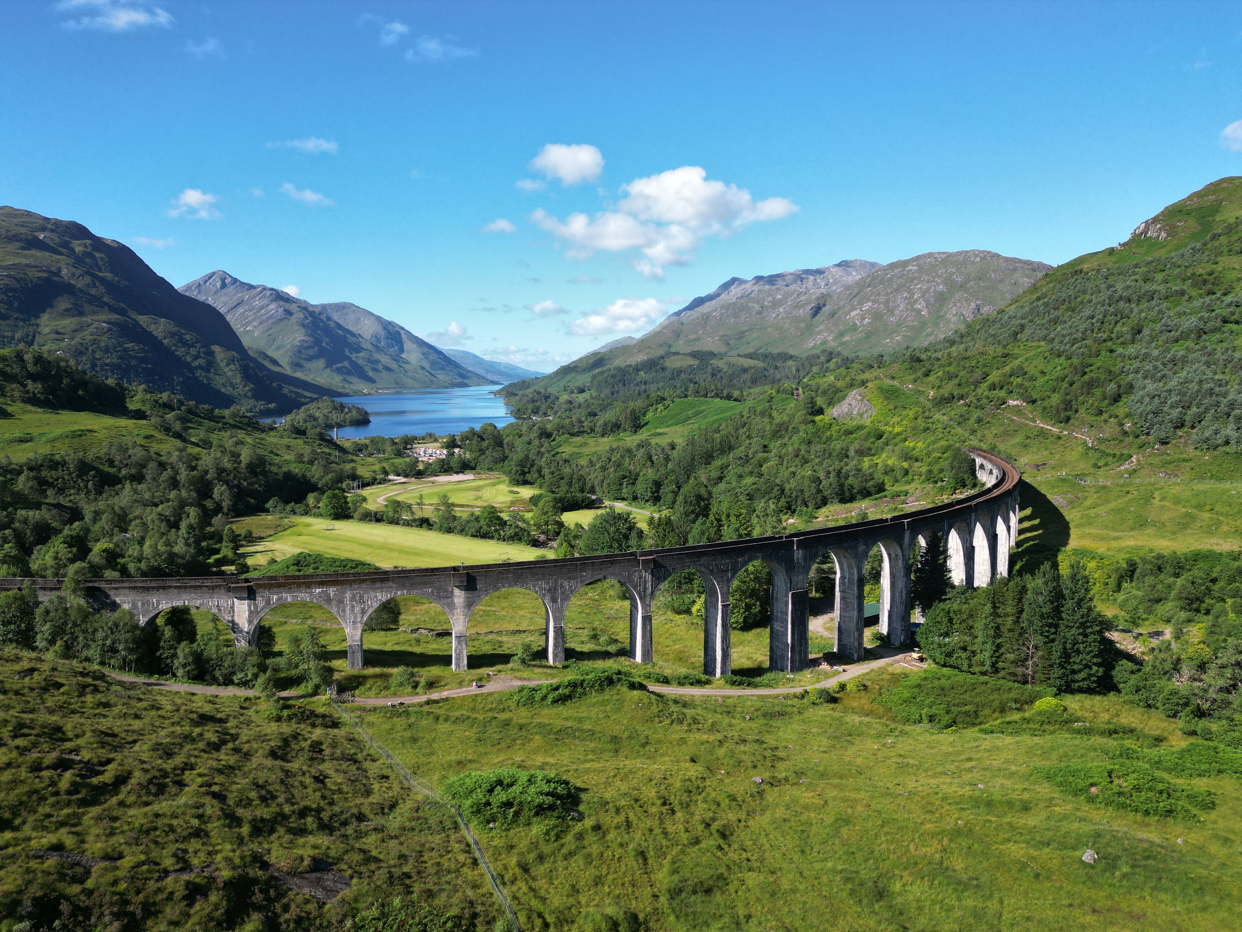
West of Fort William the road and the railway part ways, and the railway wins. The Jacobite steam train runs from Fort William to Mallaig on the coast, and about forty minutes in it swings onto the Glenfinnan Viaduct, a curved run of twenty-one arches carrying the line high over the glen. If the shape looks familiar, that's because a certain wizarding railway borrowed it for the screen, one of the better known.
The train itself is the older story. Book the morning service if you can. It sells out first, and for good reason. As the engine takes the curve, steam drifts back across the windows and the glen opens below you, Loch Shiel running away to the south between the hills. At the head of that loch stands a stone tower.
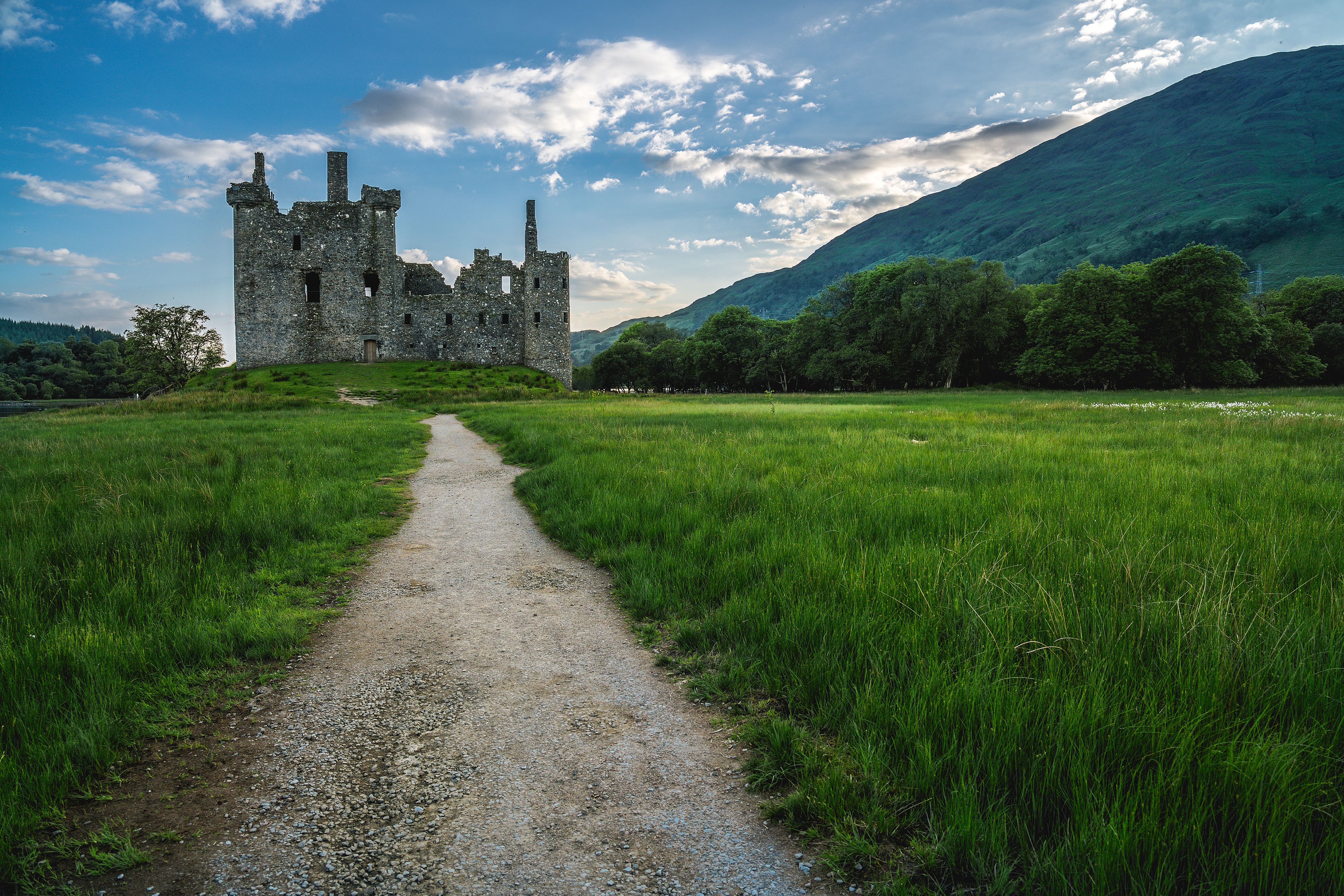
That's the Glenfinnan Monument, where Bonnie Prince Charlie raised his standard in 1745 and started the last Jacobite rising, the one that ended at Culloden. Landscape and history sitting in the same window. The service runs seasonally, roughly late April to October, with daily trains through high summer and fewer at the shoulders. You can drive to Glenfinnan and watch the train cross from the viewpoint on the hill instead, which costs nothing and gets you the picture. But you miss the part that stays with you, the sound of it, the coal smoke, the slight lurch as the carriages take the bend.
Frequently asked questions
Do you need to be fit to walk into the Lost Valley in Glen Coe?
The Lost Valley walk is short but rough rather than a gentle stroll. It involves a steep path, some easy scrambling above a gorge and a river crossing on stepping stones, so a reasonable level of fitness and boots with good grip both help. Allow around three hours there and back, and check the weather first, as the burn can be hard to cross after heavy rain.
When does the Jacobite steam train run over the Glenfinnan Viaduct?
The Jacobite steam train runs seasonally, roughly from late April to late October. Daily services operate through high summer, with fewer at the start and end of the season. The morning service is the most popular and sells out first, so book well ahead if you want it.
What is the best way to explore the Scottish Highlands?
The most rewarding way to explore the Scottish Highlands is a mix of road and rail, with time built in to stop. A car reaches the remote glens and single-track roads of the northwest, while the West Highland Line and the Jacobite steam train cover stretches no road can match. Plan shorter daily distances than the map suggests, because the terrain slows you down.